|
|
 |
AERONET Site Information Database
Cart_Site (SGP CART, Billings, Oklahoma)
Site Index
|
|
|
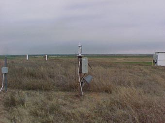
Image
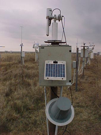
1 - A view of the sunphotometer site. |
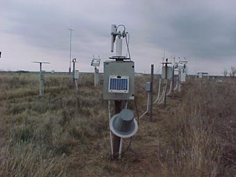
| Image
2 - Another view of the sunphotometer site. |
|
Image 1
|
Image 2
|
|
|
Site Coordinates and Elevation:
|
- Latitude: 36.60667° North
- Longitude: 97.48639° West
- Elevation: 318.0 Meters
|
|
Site
Description:
|
- This instrument is deployed as part of the ARM Southern Great Plains (SGP) observation site . �For more information see: https://www.arm.gov/capabilities/observatories/sgp
|
|
Principal
Investigator(s)
Information:
|
- Rick Wagener
- E-mail: wagener@bnl.gov
Rick Wagener
Brookhaven National Laboratory
P.O. Box 5000
Bldg.490D, Rm.3-6
Upton, NY 11973
Phone: 631-344-5886
Email: wagener@bnl.gov
AND
- Lynn Ma
- E-mail: malynn@bnl.gov
Lynn Ma Lihong
Brookhaven National Laboratory
Environmental Sciences Dept., Bldg. 490D
Upton, NY 11973-5000
Phone: 631-344-3813
Email: malynn@bnl.gov
|
|
Site
Manager(s) Information:
|
- John Schatz
- Email: johns@ops.sgp.arm.gov
-
John Schatz
DOE ARM Facility Southern Great Plains Site
109596 Coal Road
Billings, OK 74630
Phone: 331.318.3354
Fax: 580.388.4052
Email: johns@ops.sgp.arm.gov
|
|
Responsible
Institution(s):
|
-
DOE Atmospheric Radiation Measurement (ARM) user facility
(www.arm.gov)
|
|
Email Amy Scully
for content and picture updates.
Additional Photographs and Images
| CAPTION | IMAGE |
|---|
|
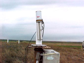
Image 3 - Another view of the sunphotometer site.
| 
|
|
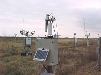
Image 4 - Another view of the sunphotometer site.
| 
|
|
Image 5 - Another view of the sunphotometer site.
| 
|
|
Image 6 - Another view of the sunphotometer site.
| 
|
Last Generated: 24 APR 2024
|