|
|
 |
AERONET Site Information Database
Litang (Litang, China)
Site Index
|
|
|
Image
1 - View of the sunphotometer. |
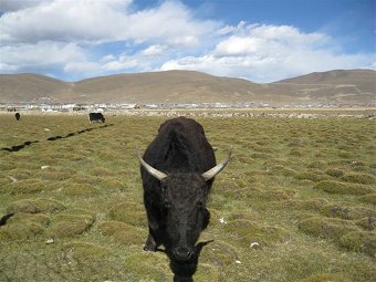
| Image
2 - The environment of the site. Litang in background. |
|
Image 1
|
Image 2
|
|
|
Site Coordinates and Elevation:
|
- Latitude: 29.97630° North
- Longitude: 100.26185° East
- Elevation: 3930.0 Meters
|
|
Site
Description:
|
- The photometer installed on the roof lab of a meteo site of litang. The site is in the countryside on a plateau in the Tibet montagne.
|
|
Principal
Investigator(s)
Information:
|
- Zhengqiang Li
- E-mail: lizq@radi.ac.cn�
Dr. Zhengqiang LI
Institute of Remote Sensing and Digital Earth
Chinese Academy of Sciences
No.20 Datun Road
Chaoyang District
P.O.Box 9718
Beijing 100101, P.R.China
Tel: +86 10 6485 7437
Fax: +86 10 6480 6225
E-mail: lizq@radi.ac.cn
|
|
Site
Manager(s) Information:
|
|
|
Responsible
Institution(s):
|
|
|
Email Amy Scully
for content and picture updates.
Additional Photographs and Images
| CAPTION | IMAGE |
|---|
|
Image 3 - The team during the workshop on the roof of the lab.
| 
|
Last Generated: 15 MAY 2024
|