Coordinates:
40.03556° N,
104.88500° W
Elevation: 1522.0 m
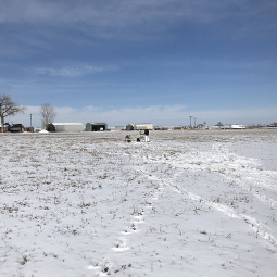
Image 1 - View of the sunphotometer.View of the sunphotometer.
Site Description
MAXAR (DigitalGlobe) calibration range near Ft. Lupton, CO. This area is surrounded by farmland. The Cimel is currently mounted to a 4 x 4 foot board that is placed in a large field (temporary on-site location until a platform can be built for it nearby).