|
|
 |
AERONET Site Information Database
NhaTrang (Nha Trang, Vietnam)
Site Index
|
|
|
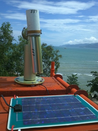
Image
1 - view of the sunphotometer. |
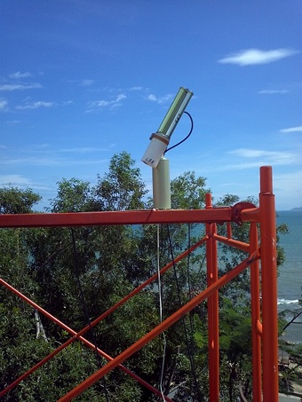
| Image
2 - view of the sunphotometer. |
|
Image 1
|
Image 2
|
|
|
Site Coordinates and Elevation:
|
- Latitude: 12.20472° North
- Longitude: 109.20556° East
- Elevation: 20.0 Meters
|
|
Site
Description:
|
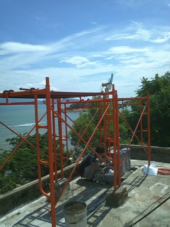
- The Cimel sunphotometer setup on the working house roof of the R&D for Sea Resources Area at Hon Chong, NITRA, VAST in Nha Trang city. Distance from the site to a very nice bay in the East sea is about 100 meters. This city is located in the south of central of Vietnam, distance from this city to Bac Lieu site is about 500 kilometers.
|
|
Principal
Investigator(s)
Information:
|
- Nguyen Xuan Anh
- E-mail: anhnx@igp-vast.vn
Dr. Nguyen Xuan Anh
Institute of Geophysics
Vietnam Academy of Science and Technology
AG,18 Hoang Quoc Viet, Cau Giay
Hanoi, VIETNAM
Phone: 084 4 7562801
Fax: 84 4 8364696
E-mail: anhnx@igp-vast.vn
|
|
Site
Manager(s) Information:
|
|
|
Responsible
Institution(s):
|
|
|
Email Amy Scully
for content and picture updates.
Additional Photographs and Images
| CAPTION | IMAGE |
|---|
|
Image 3 - view of the sunphotometer.
| 
|
Last Generated: 9 MAY 2024
|