|
|
 |
AERONET Site Information Database
Site Index
|
|
|
Image
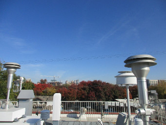
1 - Looking North from the site, facing towards downtown Sacramento |
| Image
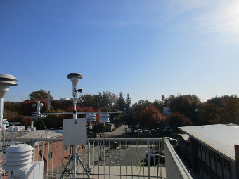
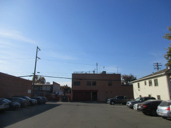
2 - Looking East from the site |
|
Image 1
|
Image 2
|
|
|
Site Coordinates and Elevation:
|
- Latitude: 38.56844° North
- Longitude: 121.49311° West
- Elevation: 15.0 Meters
|
|
Site
Description:
|
- Rooftop platform used for regulatory air quality monitoring. Downtown Sacramento location, urban with significant tree cover. Site is located above the local street canyons, most buildings 3 stories or fewer.
|
|
Principal
Investigator(s)
Information:
|
- David Ridley
- E-mail: david.ridley@arb.ca.gov
David Ridley
1900 14th St.
Sacramento, CA 95811, USA
Tel: +1 (916) 323-2105
Email: david.ridley@arb.ca.gov
|
|
Site
Manager(s) Information:
|
- Dustin Goto
- Email: dustin.goto@arb.ca.gov
-
Dustin Goto
1927 13th St.
Sacramento, CA 95811, USA
Tel: +1 (916) 327-4757
Email: dustin.goto@arb.ca.gov
|
|
Responsible
Institution(s):
|
-
California Air Resources Board
www.arb.ca.gov
|
|
Email Amy Scully
for content and picture updates.
Additional Photographs and Images
| CAPTION | IMAGE |
|---|
|
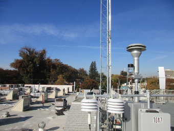
Image 3 - Looking West from the site
| 
|
|
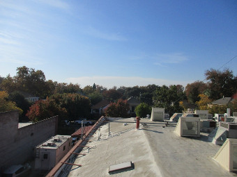
Image 4 - Looking South from the site
| 
|
|
Image 5 - Looking at the site from the North
| 
|
Last Generated: 10 MAY 2024
|