|
|
 |
AERONET Site Information Database
Site Index
|
|
|
Image
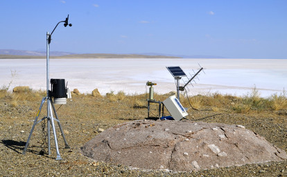
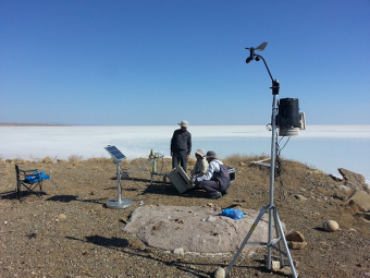
1 - View of the sunphotometer. |
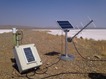
| Image
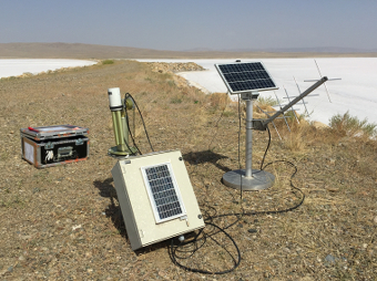
2 - View of the sunphotometer. |
|
Image 1
|
Image 2
|
|
|
Site Coordinates and Elevation:
|
- Latitude: 38.79247° North
- Longitude: 33.46468° East
- Elevation: 906.2 Meters
|
|
Site
Description:
|
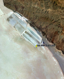
- The site is temporarily instrumented during the radiometric calibration campaigns. The instrumentation is set up on the salt lake on the ground. It is 105km far away from Konya and 150km far away from Ankara cities. � �
|
|
Principal
Investigator(s)
Information:
|
- Feray Oztoprak
- E-mail: feray.oztoprak@tubitak.gov.tr
Feray Oztoprak
Tubitak Uzay
METU Campus
06800 Ankara TURKEY
Tel: 90 312 210 1310-1430
Email: feray.oztoprak@tubitak.gov.tr
AND
- Ismail Hakki Demirhan
- E-mail: hakki.demirhan@tubitak.gov.tr
Ismail Hakki Demirhan
Tubitak Uzay
METU Campus
06800 Ankara TURKEY
Tel: 90 312 210 1310-1429
Email: hakki.demirhan@tubitak.gov.tr
|
|
Site
Manager(s) Information:
|
|
|
Responsible
Institution(s):
|
|
|
Email Amy Scully
for content and picture updates.
Additional Photographs and Images
| CAPTION | IMAGE |
|---|
|
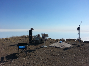
Image 3 - View of the sunphotometer.
| 
|
|
Image 4 - View of the sunphotometer.
| 
|
|
Image 5 - View of the sunphotometer.
| 
|
|
Image 6 - View of the sunphotometer.
| 
|
Last Generated: 10 MAY 2024
|