|
|
 |
AERONET Site Information Database
Site Index
|
|
|
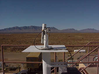
Image
1 - Cimel looking west to the San Andreas Mountains. |
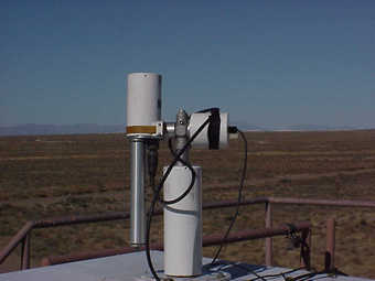
| Image
2 - Cimel looking to the northeast, with a view of the gypsum dunes of White Sands National Monument. |
|
Image 1
|
Image 2
|
|
|
Site Coordinates and Elevation:
|
- Latitude: 32.63494° North
- Longitude: 106.33807° West
- Elevation: 1207.2 Meters
|
|
Site
Description:
|
- The site is located in the Tularosa Basin, NM at the White Sands Missile Range (WSMR) High Energy Laser Systems Test Facility (HELSTF). The Tularosa Basin, part of the basin and range region of south-central New Mexico, is a high desert area subject to harsh, and sometimes rapidly changing climatic conditions. The area averages 350 days of sunshine per year; precipitation averages about 20 cm. Wind is the dominant climatic factor, especially from February to May, when wind storms can last for days and can reach gale forces. The prevailing southerly winds blow unimpeded across the desert which can cause dust events with desert aerosols mixing with gypsum particles from nearby White Sands National Monument. With low humidity and nearly negligible atmospheric pollution, visibility averages 57 km and often exceeds 160 km. However, during some atmospheric conditions urban aerosols from El Paso, TX and Juarez, Mexico (approximately 80 km to the south) can show up in a bimodal particle size distribution.
|
|
Principal
Investigator(s)
Information:
|
- Jeannette van den Bosch
- E-mail: jeannette.van_den_bosch@us.af.mil
Jeannette van den Bosch
AFRL/RVBYH
Bldg 570, Room 2326
3550 Aberdeen Avenue SE
Kirtland AFB, New Mexico 87117
Phone# 505.853.3543
Email: jeannette.van_den_bosch@us.af.mil
|
|
Site
Manager(s) Information:
|
- Jeannette van den Bosch
- Email: jeannette.van_den_bosch@us.af.mil
-
Jeannette van den Bosch
AFRL/RVBYH
Bldg 570, Room 2326
3550 Aberdeen Avenue SE
Kirtland AFB, New Mexico 87117
Phone# 505.853.3543
Email: jeannette.van_den_bosch@us.af.mil
|
|
Responsible
Institution(s):
|
|
|
Email Amy Scully
for content and picture updates.
Last Generated: 10 MAY 2024
|