|
|
 |
AERONET Site Information Database
Site Index
|
|
|
Image
1 - The sunphotometer in the roof of School of Environmental Science and Spatial Informatics, China University of Mining and Technology. |
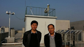
| Image
2 - The site manager (left) and PI (right). |
|
Image 1
|
Image 2
|
|
|
Site Coordinates and Elevation:
|
- Latitude: 34.21667° North
- Longitude: 117.14167° East
- Elevation: 59.7 Meters
|
|
Site
Description:
|
- Our intrument is located on the top of the building of School of Environment Science and Spatial Informatics, China University of Mining and Technology. Our university is located in XuZhou, JiangSu Province. It is in the 3th ring of XuZhou, and it is surrounded with mountains without any industry or aerosol source near it.
|
|
Principal
Investigator(s)
Information:
|
- Lixin Wu
- E-mail: awulixin@263.net
Lixin Wu
School of Environmental Science and Spatial Informatics
China University of Mining and Technology
NO.1 Daxue Road, Xuzhou
Jiangsu Province, P.R.China
Phone# +86 516 83591339
Email:awulixin@263.net
|
|
Site
Manager(s) Information:
|
- Kai Qin
- Email: qinkai20071014@163.com
-
Kai Qin
School of Environmental Science and Spatial Informatics, China University of Mining and Technology, NO.1 Daxue Road, Xuzhou, Jiangsu Province, P.R.China
Phone# +86 516 83591339
Email: qinkai20071014@163.com
|
|
Responsible
Institution(s):
|
-
School of Environment Science and Spatial Informatics, China University of Mining and Technology.
http://www.cumt.edu.cn/
|
|
Email Amy Scully
for content and picture updates.
Last Generated: 10 MAY 2024
|


